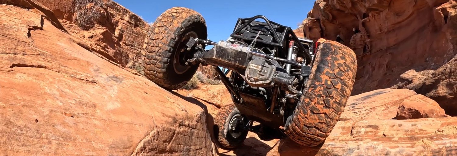

WHEELINOUTWEST · TRAIL DIRECTORY
Explore Trails
Pick a state. Find a town. Plan your next adventure.
Details combine WHEELINOUTWEST trip reports with linked public trail guides. Distances describe the source’s route; return drives and approaches may be additional. Ratings retain each source’s scale. Check current access and conditions before heading out.
Trail stories & guides
Browse by nearby city or gateway town. Choose a trail in the sidebar to jump to its card. Open the card for directions, photos and videos.
Vehicle classifications are coming soon. Clear the vehicle filter to browse the trail directory.
Buena Vista, Colorado
Grizzly Lake
- Area
- Buena Vista, Colorado
- Trail length
- 2.6 miles (onX mapped route)
- Expected duration
- About 5 hours round trip
- Rating
- 8 · Difficult (onX)
- Vehicle types
- Classification pending
Trail summary
A mountain lake trail near St. Elmo, with rocky climbs and creek crossings.
Directions, photos & videos
Directions
Near St. Elmo, turn toward Hancock Pass before reaching town. The published report describes the trail entrance on the left near a group of houses.
Duration from our 2016 trip.
Sources & route notes
WHEELINOUTWEST trail report · onX route details
Photos
From our trail report


Videos
Video link to be added.
Read original trail story & see all media ↗Share your experience, visit date, vehicle and trail conditions on the original trip report.
Buena Vista, Colorado
Iron Chest Mine
- Area
- Buena Vista, Colorado
- Trail length
- 2.9 miles (FunTreks route)
- Expected duration
- About 3 hours round trip
- Rating
- Difficult (FunTreks)
- Vehicle types
- Classification pending
Trail summary
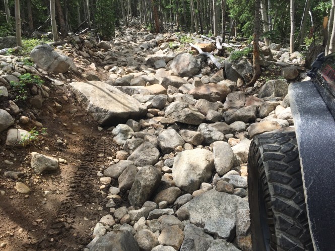
A rocky climb above St. Elmo to historic mine remains.
Directions, photos & videos
Directions
Near St. Elmo, off the Hancock Pass route. See the original trail report for the approach.
Duration recorded in our Grizzly Lake / Iron Chest trip report.
Sources & route notes
Our trip took about 3 hours round trip; FunTreks allows 4 hours. Its route mileage is not a round-trip total.
WHEELINOUTWEST trail report · FunTreks route guide
Photos
From our trail report


Videos
From our trail report
Share your experience, visit date, vehicle and trail conditions on the original trip report.
Fairplay / Breckenridge, Colorado
Wheeler Lake
- Area
- Fairplay / Breckenridge, Colorado
- Trail length
- 3.5 miles (COTREX road segment)
- Expected duration
- About 3–5 hours round trip
- Rating
- 7 · Difficult (onX)
- Vehicle types
- Classification pending
Trail summary
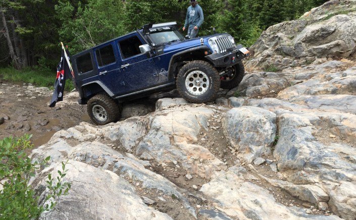
A high-country lake route starting near Montgomery Reservoir.
Directions, photos & videos
Directions
Approach Montgomery Reservoir from Highway 9 between Fairplay and Breckenridge. Our group staged in the parking area at the beginning of the trail.
Our 2016 group trip took about 5 hours; the report allows about 3 hours for a smaller group.
Sources & route notes
WHEELINOUTWEST trail report · COTREX road map · onX rating
Photos
From our trail report


Videos
From our trail report
Share your experience, visit date, vehicle and trail conditions on the original trip report.
Grand Junction, Colorado
Pinch Point
- Area
- Grand Junction, Colorado
- Trail length
- Not yet verified
- Expected duration
- Not yet verified
- Rating
- Not yet verified
- Vehicle types
- Classification pending
Trail summary
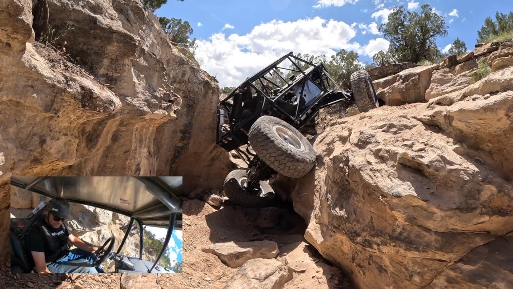
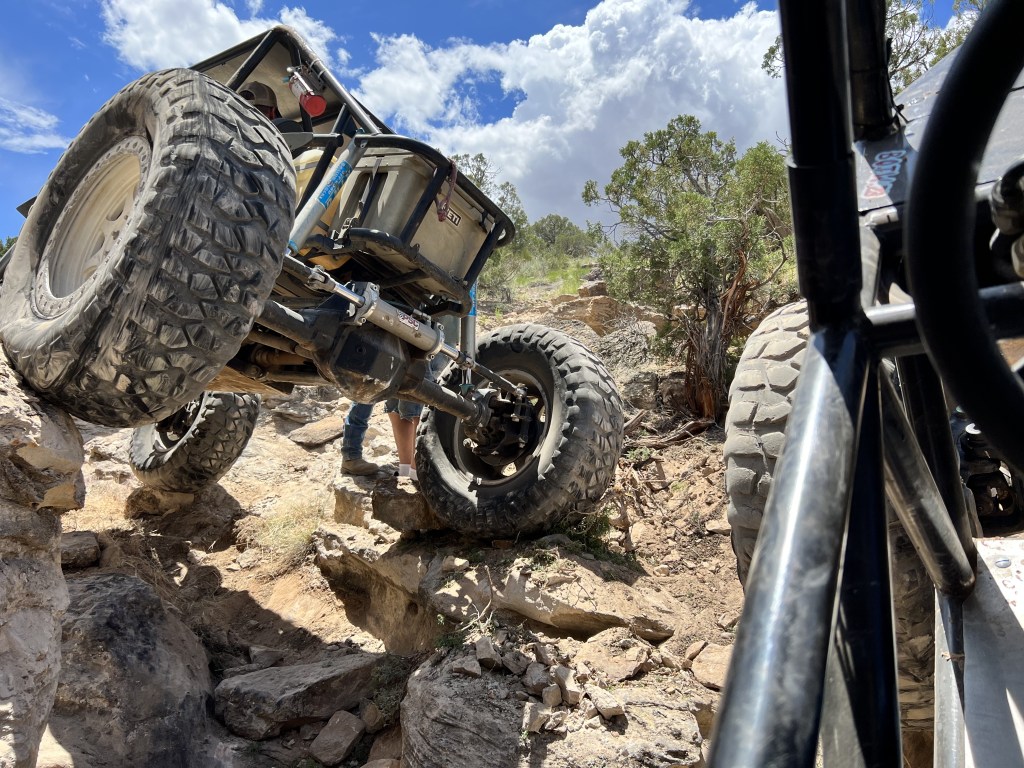
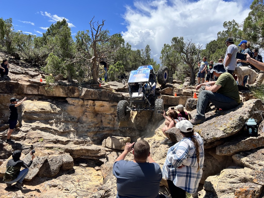
A technical rock-crawling route off Billings Canyon.
Directions, photos & videos
Directions
Accessed from the Billings Canyon Jeep Trail. Detailed trailhead directions to be added.
Photos
From our trail report
Videos
From our trail report
Share your experience, visit date, vehicle and trail conditions on the original trip report.
Gypsum, Colorado
Middle Middle
- Area
- Gypsum, Colorado
- Trail length
- Not yet verified
- Expected duration
- Not yet verified
- Rating
- 8 (WHEELINOUTWEST, 2016)
- Vehicle types
- Classification pending
Trail summary
A Gypsum crawling route featured alongside Ten Falls and Tierod Bender.
Directions, photos & videos
Directions
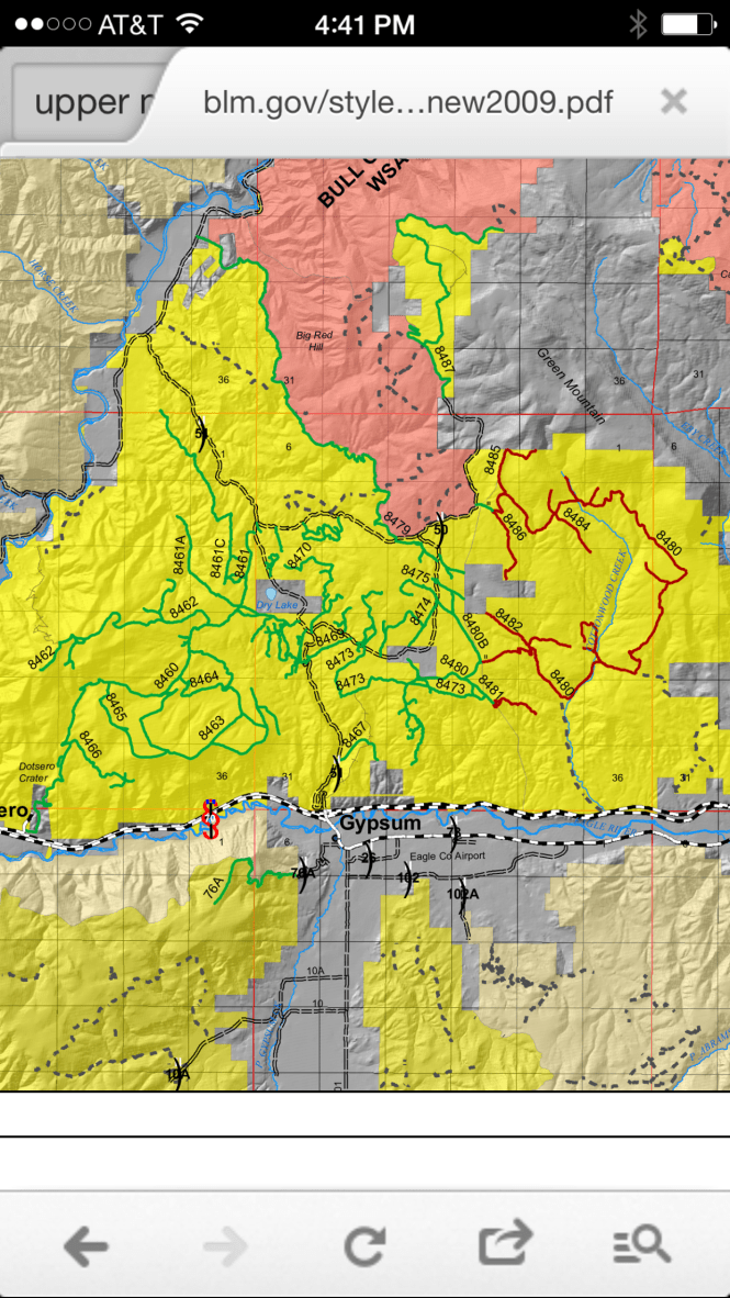
Our Gypsum report approaches via route 8482, following the rocky wash to a Y junction and the Middle Middle routes.
Our 2016 report describes an 8 difficulty rating.
Sources & route notes
Historical trip rating; current difficulty has not been verified.
Photos
From the shared trip report


Videos
Video link to be added.
Read original trail story & see all media ↗Share your experience, visit date, vehicle and trail conditions on the original trip report. Please name the trail in your review.
Gypsum, Colorado
Ten Falls
- Area
- Gypsum, Colorado
- Trail length
- Not yet verified
- Expected duration
- Not yet verified
- Rating
- 10+ (WHEELINOUTWEST, 2016)
- Vehicle types
- Classification pending
Trail summary
One of the challenging rock-crawling routes in our Gypsum trail report.
Directions, photos & videos
Directions
From I-70 exit 140 at Gypsum, head north and left past the mine toward the mesa kiosk. Our report follows route 8480 into the valley, past 8481 and 8482, then left onto 8483 toward Ten Falls.
Our 2016 report describes a 10+ difficulty rating.
Sources & route notes
Historical trip rating; current difficulty has not been verified.
Photos
From the shared trip report
Videos
Video link to be added.
Read original trail story & see all media ↗Share your experience, visit date, vehicle and trail conditions on the original trip report. Please name the trail in your review.
Gypsum, Colorado
Tierod Bender
- Area
- Gypsum, Colorado
- Trail length
- 1 mile (FunTreks route)
- Expected duration
- 1–3 hours (FunTreks)
- Rating
- Difficult (FunTreks)
- Vehicle types
- Classification pending
Trail summary
Rock crawling near Gypsum, covered in our multi-trail trip report.
Directions, photos & videos
Directions
Use the Gypsum mesa trail system north of I-70 exit 140. Exact trailhead directions to be added.
Our 2016 report describes an 8 difficulty rating.
Sources & route notes
Also published as Tie Rod Bender. This is a short, highly technical rock-crawling route.
WHEELINOUTWEST trail report · FunTreks route guide
Photos
From the shared trip report
Videos
Video link to be added.
Read original trail story & see all media ↗Share your experience, visit date, vehicle and trail conditions on the original trip report. Please name the trail in your review.
Lake City, Colorado
Cinnamon Pass
- Area
- Lake City, Colorado
- Trail length
- 24.2 miles (onX route)
- Expected duration
- Not yet verified
- Rating
- 3 · Easy (onX)
- Vehicle types
- Classification pending
Trail summary
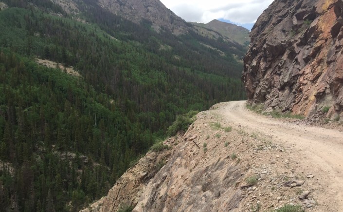
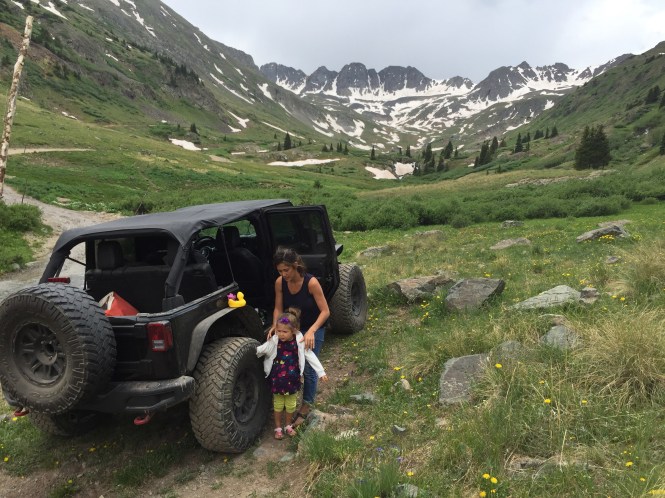
An Alpine Loop adventure from Lake City toward Animas Forks.
Directions, photos & videos
Directions
Our trip begins on the Lake City side and travels toward Animas Forks. Detailed trailhead directions to be added.
Sources & route notes
Mileage refers to the Cinnamon Pass route, not the full Alpine Loop or a Wager Gulch extension.
WHEELINOUTWEST trail report · onX route details
Photos
From our trail report

Videos
Video link to be added.
Read original trail story & see all media ↗Share your experience, visit date, vehicle and trail conditions on the original trip report.
Marble, Colorado
Schofield Pass / Crystal Mill
- Area
- Marble, Colorado
- Trail length
- 10.6 miles (FunTreks through-route)
- Expected duration
- About 2 hours (FunTreks)
- Rating
- Difficult (FunTreks)
- Vehicle types
- Classification pending
Trail summary
A video journey through the mountains around Marble.
Directions, photos & videos
Directions
Detailed trailhead directions to be added.
Sources & route notes
Figures cover the Devil’s Punchbowl / Schofield through-route, not a return trip to Crystal Mill. The section beyond Crystal is substantially more demanding.
WHEELINOUTWEST trail report · FunTreks route guide
Photos
Photos to be added.
Videos
From our trail report
Share your experience, visit date, vehicle and trail conditions on the original trip report.
Montrose, Colorado
Boulder Canyon
- Area
- Montrose, Colorado
- Trail length
- Not yet verified
- Expected duration
- Not yet verified
- Rating
- 8 (Montrose Lifestyle)
- Vehicle types
- Classification pending
Trail summary
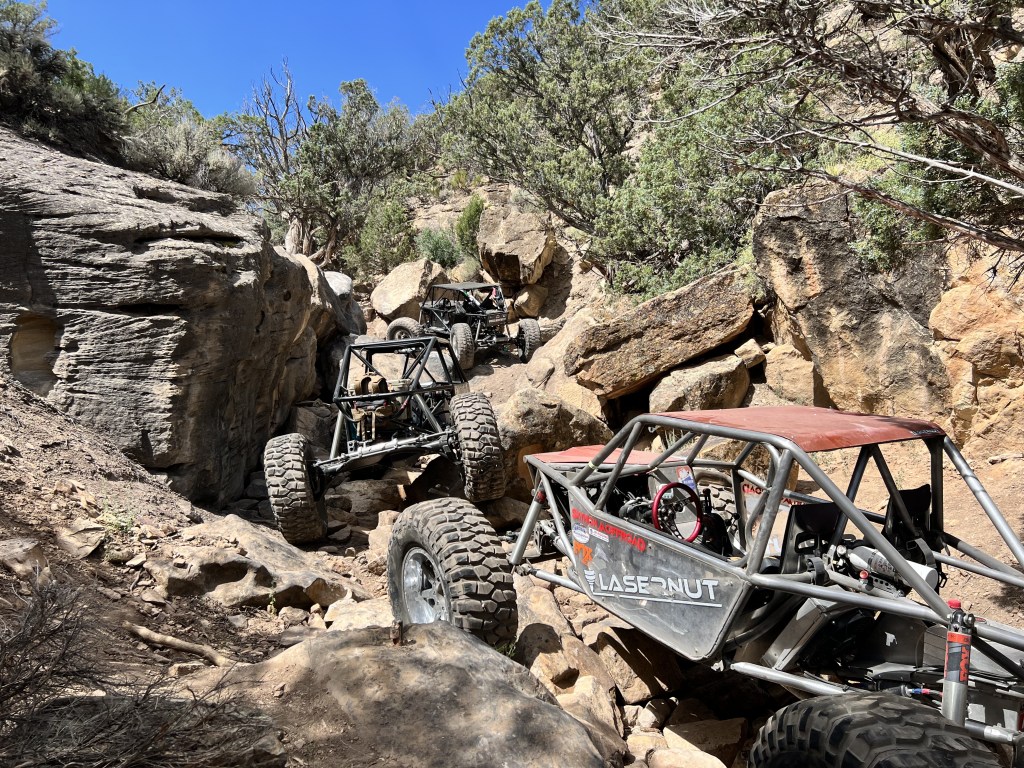
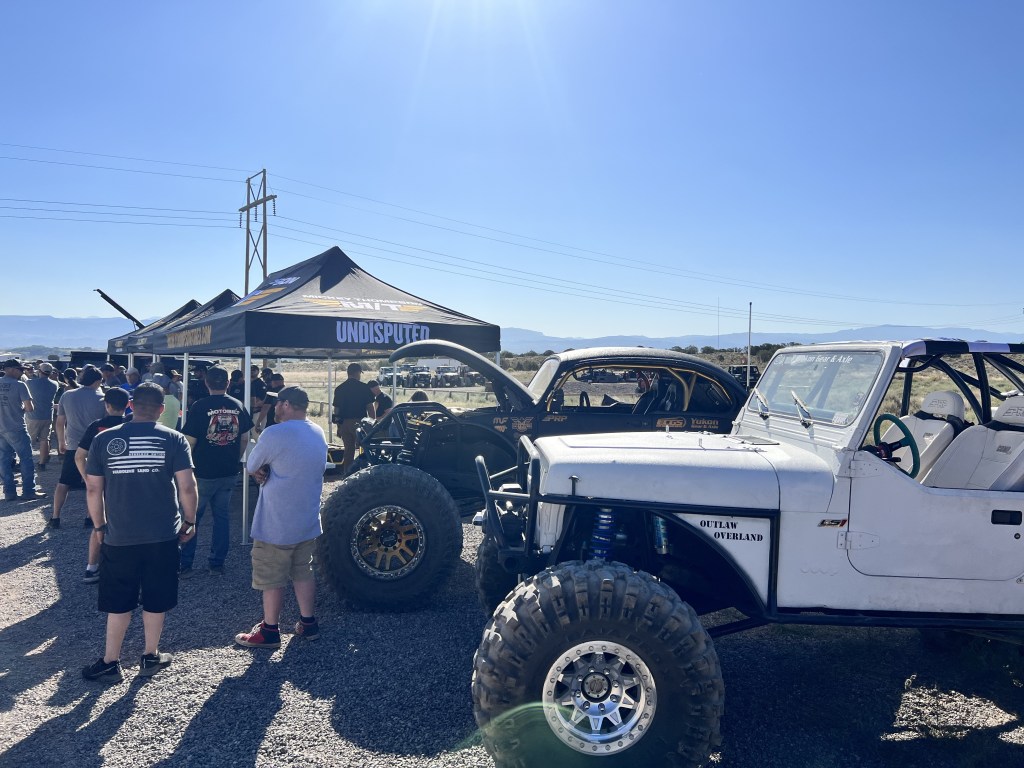
Our Great American Crawl adventure on Montrose rocks.
Directions, photos & videos
Directions
Detailed trailhead directions to be added.
Sources & route notes
WHEELINOUTWEST trail report · Montrose trail guide
Photos
From our trail report

Videos
From our trail report
Share your experience, visit date, vehicle and trail conditions on the original trip report.
Montrose, Colorado
Calamity
- Area
- Montrose, Colorado
- Trail length
- Not yet verified
- Expected duration
- About 2 hours, with longer stops possible
- Rating
- 6–9, depending on line (Montrose Lifestyle)
- Vehicle types
- Classification pending
Trail summary
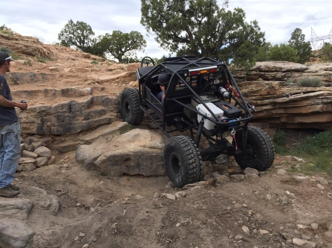
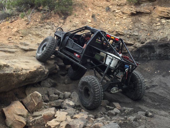
A Montrose rock-crawling trail with optional challenges.
Directions, photos & videos
Directions
Our report stages at Rim Road and Shavano Valley Road. Follow Rim Road to the wooden power-line structures, turn right, then follow the BLM signs toward Calamity.
Estimate from our 2016 report; optional obstacles and recovery stops can extend the day.
Sources & route notes
WHEELINOUTWEST trail report · Montrose trail guide
Photos
From our trail report

Videos
From our trail report
Share your experience, visit date, vehicle and trail conditions on the original trip report.
Montrose, Colorado
Death Row
- Area
- Montrose, Colorado
- Trail length
- Not yet verified
- Expected duration
- Not yet verified
- Rating
- 10+ (Montrose Lifestyle)
- Vehicle types
- Classification pending
Trail summary
Big boulders and technical crawling in Montrose.
Directions, photos & videos
Directions
Detailed trailhead directions to be added.
Sources & route notes
WHEELINOUTWEST trail report · Montrose trail guide
Photos
From our trail report


Videos
From our trail report
Share your experience, visit date, vehicle and trail conditions on the original trip report.
Montrose, Colorado
Die Trying
- Area
- Montrose, Colorado
- Trail length
- Not yet verified
- Expected duration
- Not yet verified
- Rating
- 8 (Montrose Lifestyle)
- Vehicle types
- Classification pending
Trail summary
A Montrose trail video featuring Die Trying and Calamity.
Directions, photos & videos
Directions
Detailed trailhead directions to be added.
Sources & route notes
WHEELINOUTWEST trail report · Montrose trail guide
Photos
Photos to be added.
Videos
From our trail report
Share your experience, visit date, vehicle and trail conditions on the original trip report.
Wear the trail · WHEELINOUTWEST
Shop our Die Trying apparel on Amazon.
Ouray, Colorado
Governor Basin
- Area
- Ouray, Colorado
- Trail length
- 2.6 miles (FunTreks route)
- Expected duration
- 2–3 hours (FunTreks)
- Rating
- Easy (FunTreks)
- Vehicle types
- Classification pending
Trail summary
Mountain scenery and aerial footage from Governor and Yankee Boy basins.
Directions, photos & videos
Directions
Detailed trailhead directions to be added.
Sources & route notes
WHEELINOUTWEST trail report · FunTreks route guide
Photos
Photos to be added.
Videos
From the shared trip report
Share your experience, visit date, vehicle and trail conditions on the original trip report. Please name the trail in your review.
Ouray, Colorado
Mineral Creek
- Area
- Ouray, Colorado
- Trail length
- 7 miles (FunTreks route)
- Expected duration
- About 2 hours (FunTreks)
- Rating
- Difficult (FunTreks)
- Vehicle types
- Classification pending
Trail summary
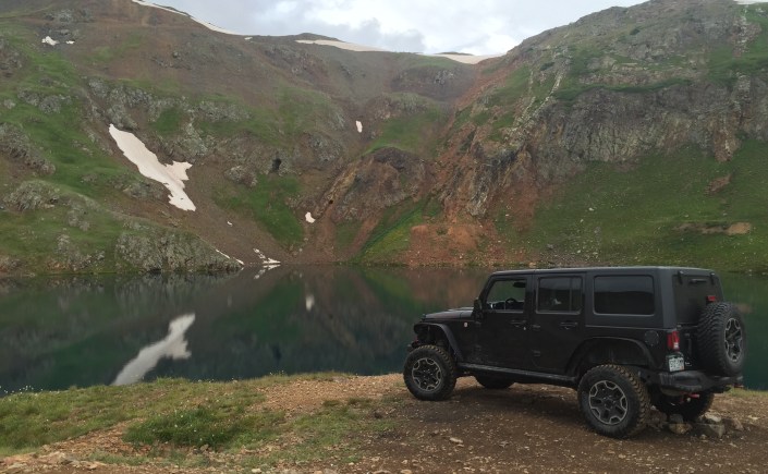
A San Juan route featured with Poughkeepsie Gulch.
Directions, photos & videos
Directions
Our report approaches from Highway 550 south of Ouray, on the left while climbing toward Red Mountain Pass. Verify the exact trailhead before traveling.
Sources & route notes
Rating systems differ: onX lists 5 / Moderate for this route.
WHEELINOUTWEST trail report · FunTreks route guide · onX comparison
Photos
From the shared trip report


Videos
From the shared trip report
Share your experience, visit date, vehicle and trail conditions on the original trip report. Please name the trail in your review.
Ouray, Colorado
Poughkeepsie Gulch
- Area
- Ouray, Colorado
- Trail length
- 4.1 miles (FunTreks route)
- Expected duration
- About 1 hour (FunTreks; delays can add time)
- Rating
- Difficult (FunTreks)
- Vehicle types
- Classification pending
Trail summary
Our trail report from the mountains between Ouray and Silverton.
Directions, photos & videos
Directions
From US 550 south of Ouray, take the Mineral Creek / Engineer Pass approach. The Poughkeepsie turn is about 2.4 miles along that approach.
Sources & route notes
The guide’s time is for a properly equipped vehicle and excludes the approach.
WHEELINOUTWEST trail report · FunTreks route guide
Photos
From the shared trip report
Videos
From the shared trip report
Share your experience, visit date, vehicle and trail conditions on the original trip report. Please name the trail in your review.
Wear the trail · WHEELINOUTWEST
Shop our Poughkeepsie Gulch apparel on Amazon.
Ouray, Colorado
Yankee Boy Basin
- Area
- Ouray, Colorado
- Trail length
- 9.3 miles (FunTreks route)
- Expected duration
- 3–5 hours (FunTreks)
- Rating
- Difficult on upper section (FunTreks)
- Vehicle types
- Classification pending
Trail summary
Explore the basin through our San Juan Mountains footage.
Directions, photos & videos
Directions
Detailed trailhead directions to be added.
Sources & route notes
The lower road is easier; the published difficult rating includes the upper section.
WHEELINOUTWEST trail report · FunTreks route guide
Photos
Photos to be added.
Videos
From the shared trip report
Share your experience, visit date, vehicle and trail conditions on the original trip report. Please name the trail in your review.
Silverton, Colorado
Animas Forks
- Area
- Silverton, Colorado
- Trail length
- 12.3 miles, point to point from Silverton
- Expected duration
- Not yet verified
- Rating
- Moderate (BLM)
- Vehicle types
- Classification pending
Trail summary
Explore the historic townsite and surrounding high-country routes.
Directions, photos & videos
Directions
Approach from Silverton along the upper Animas River road toward Eureka and Animas Forks. BLM places the townsite at 37.93123, -107.57068.
Sources & route notes
Distance is the Silverton approach, not the whole Alpine Loop.
WHEELINOUTWEST trail report · Bureau of Land Management
Photos
From our trail report


Videos
Video link to be added.
Read original trail story & see all media ↗Share your experience, visit date, vehicle and trail conditions on the original trip report.
Silverton, Colorado
Arrastra Gulch
- Area
- Silverton, Colorado
- Trail length
- 10.4 miles (FunTreks itinerary)
- Expected duration
- About 3 hours round trip
- Rating
- Moderate (FunTreks)
- Vehicle types
- Classification pending
Trail summary
A short mountain outing near Silverton.
Directions, photos & videos
Directions
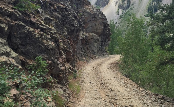
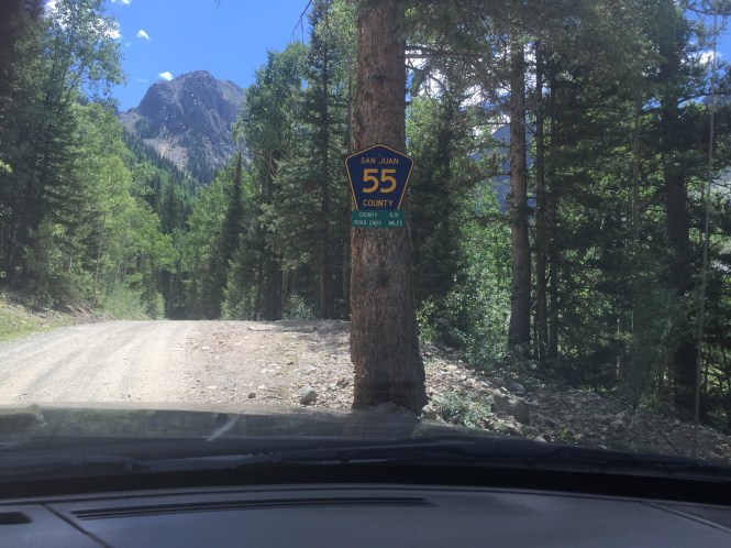
From Silverton, head toward Eureka and the Mayflower Mill. Our report turns right near the overhead ore buckets, crosses the bridge and follows the gulch road.
Our 2016 trip included photography and drone stops.
Sources & route notes
Our published trip took about 3 hours round trip; FunTreks lists 4 hours for its itinerary.
WHEELINOUTWEST trail report · FunTreks route guide
Photos
From our trail report

Videos
From our trail report
Share your experience, visit date, vehicle and trail conditions on the original trip report.
Silverton, Colorado
California Gulch
- Area
- Silverton, Colorado
- Trail length
- 4.6 miles (FunTreks route)
- Expected duration
- About 1 hour (FunTreks)
- Rating
- Easy (FunTreks)
- Vehicle types
- Classification pending
Trail summary
A mountain route featured with Hurricane Pass.
Directions, photos & videos
Directions
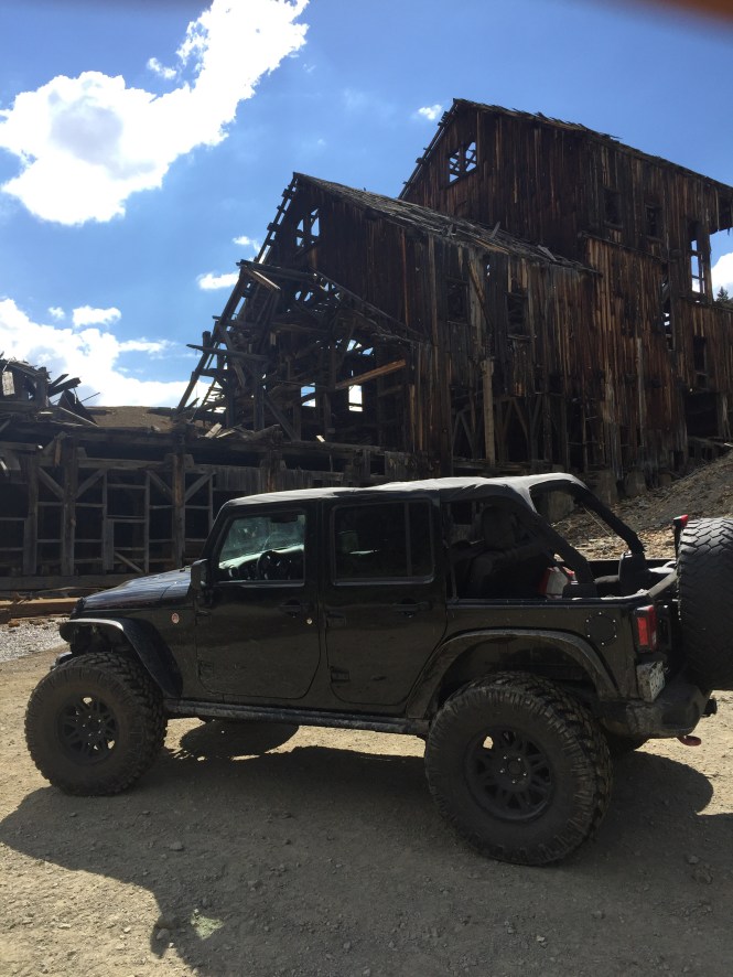
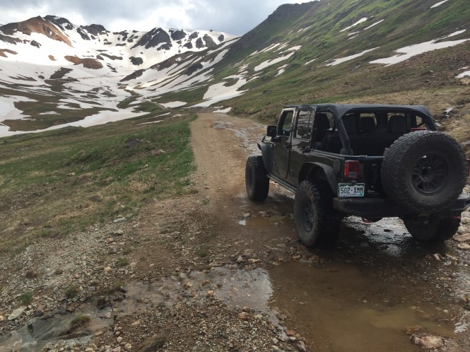
The eastern approach starts at Animas Forks and climbs toward California Pass.
Sources & route notes
WHEELINOUTWEST trail report · FunTreks route guide
Photos
From the shared trip report

Videos
Video link to be added.
Read original trail story & see all media ↗Share your experience, visit date, vehicle and trail conditions on the original trip report. Please name the trail in your review.
Silverton, Colorado
Corkscrew Gulch
- Area
- Silverton, Colorado
- Trail length
- 7.1 miles (combined Corkscrew / Hurricane route)
- Expected duration
- About 2 hours for the combined route (FunTreks)
- Rating
- Moderate (FunTreks)
- Vehicle types
- Classification pending
Trail summary
A colorful San Juan Mountains route near Silverton and Ouray.
Directions, photos & videos
Directions
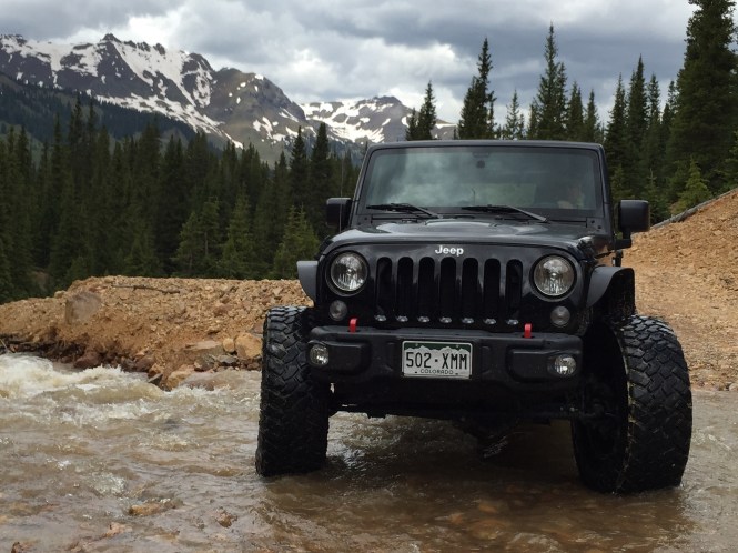
Our report approaches from Highway 550, with connections toward Silverton and Hurricane Pass. Detailed trailhead directions to be added.
Sources & route notes
These figures cover Corkscrew Gulch and Hurricane Pass together, not this section alone.
WHEELINOUTWEST trail report · FunTreks route guide
Photos
From our trail report


Videos
Video link to be added.
Read original trail story & see all media ↗Share your experience, visit date, vehicle and trail conditions on the original trip report.
Silverton, Colorado
Hurricane Pass
- Area
- Silverton, Colorado
- Trail length
- 7.1 miles (combined Corkscrew / Hurricane route)
- Expected duration
- About 2 hours for the combined route (FunTreks)
- Rating
- Moderate (FunTreks)
- Vehicle types
- Classification pending
Trail summary
High-country scenery connecting with California Gulch and Corkscrew.
Directions, photos & videos
Directions
Detailed trailhead directions to be added.
Sources & route notes
These figures cover Corkscrew Gulch and Hurricane Pass together, not this section alone.
WHEELINOUTWEST trail report · FunTreks route guide
Photos
From the shared trip report
Videos
Video link to be added.
Read original trail story & see all media ↗Share your experience, visit date, vehicle and trail conditions on the original trip report. Please name the trail in your review.
Telluride, Colorado
Black Bear Pass
- Area
- Telluride, Colorado
- Trail length
- 10 miles (FunTreks route)
- Expected duration
- 2–3 hours (FunTreks)
- Rating
- Difficult (FunTreks)
- Vehicle types
- Classification pending
Trail summary
Our trail video of the famous mountain route into Telluride.
Directions, photos & videos
Directions
Detailed trailhead directions to be added.
Sources & route notes
The descent switchbacks are one-way toward Telluride. Verify current road access before attempting the through-route.
WHEELINOUTWEST trail report · FunTreks route guide
Photos
Photos to be added.
Videos
From our trail report
Share your experience, visit date, vehicle and trail conditions on the original trip report.
Wear the trail · WHEELINOUTWEST
Shop our Black Bear Pass apparel on Amazon.
Telluride, Colorado
Imogene Pass
- Area
- Telluride, Colorado
- Trail length
- 11.9 miles (FunTreks route)
- Expected duration
- About 4 hours (FunTreks)
- Rating
- Difficult (FunTreks)
- Vehicle types
- Classification pending
Trail summary
Our trip over the pass between Telluride and Ouray.
Directions, photos & videos
Directions
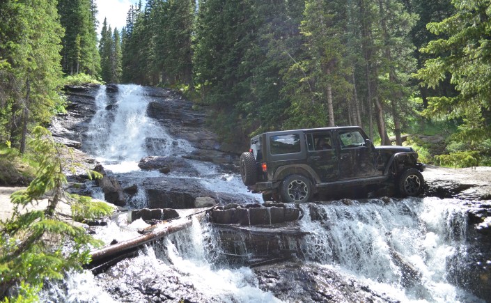
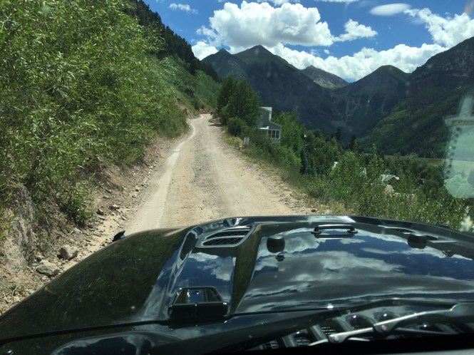
From Ouray, head toward Red Mountain Pass and turn toward Box Canyon / Camp Bird Road. Near Camp Bird Mine, follow the left branch for Imogene. From Telluride, follow signs for Imogene Pass and Tomboy Mine.
Our 2016 report describes easy to moderate terrain with shelf-road exposure.
Sources & route notes
Our 2016 report used an easier description. FunTreks subsequently changed its rating to Difficult. These are historical route details, not confirmation that the through-route is open.
WHEELINOUTWEST trail report · FunTreks route guide
Photos
From our trail report

Videos
Video link to be added.
Read original trail story & see all media ↗Share your experience, visit date, vehicle and trail conditions on the original trip report.
Farmington, New Mexico
Garage Trail
- Area
- Farmington, New Mexico
- Trail length
- Not yet verified
- Expected duration
- Not yet verified
- Rating
- 5 (Chokecherry Crawlers)
- Vehicle types
- Classification pending
Trail summary
A Chokecherry Canyon route covered in our Farmington trip report.
Directions, photos & videos
Directions
The shared Farmington report covers Chokecherry Canyon, accessed from Piñon Hills Boulevard. Directions to this individual trail are still to be added.
Sources & route notes
Published trail-entry coordinates: 36°47′30.58″N, 108°11′09.82″W. Use the local trail map for the approach.
WHEELINOUTWEST trail report · Chokecherry Crawlers ratings · BLM Glade Run trail map
Photos
From the shared trip report


Videos
Video link to be added.
Read original trail story & see all media ↗Share your experience, visit date, vehicle and trail conditions on the original trip report. Please name the trail in your review.
Farmington, New Mexico
Gladiator
- Area
- Farmington, New Mexico
- Trail length
- Not yet verified
- Expected duration
- Not yet verified
- Rating
- 6 (Chokecherry Crawlers)
- Vehicle types
- Classification pending
Trail summary
A technical challenge from our Chokecherry Canyon trip.
Directions, photos & videos
Directions
The shared Farmington report covers Chokecherry Canyon, accessed from Piñon Hills Boulevard. Directions to this individual trail are still to be added.
Sources & route notes
Published trail-entry coordinates: 36°48′16.27″N, 108°11′59.66″W. Use the local trail map for the approach.
WHEELINOUTWEST trail report · Chokecherry Crawlers ratings · BLM Glade Run trail map
Photos
From the shared trip report
Videos
Video link to be added.
Read original trail story & see all media ↗Share your experience, visit date, vehicle and trail conditions on the original trip report. Please name the trail in your review.
Farmington, New Mexico
Harold’s Highway
- Area
- Farmington, New Mexico
- Trail length
- Not yet verified
- Expected duration
- Not yet verified
- Rating
- 9 (Chokecherry Crawlers)
- Vehicle types
- Classification pending
Trail summary
Named in our Farmington area overview.
Directions, photos & videos
Directions
The shared Farmington report covers Chokecherry Canyon, accessed from Piñon Hills Boulevard. Directions to this individual trail are still to be added.
Sources & route notes
Published trail-entry coordinates: 36°47′42.16″N, 108°12′02.91″W. Use the local trail map for the approach.
WHEELINOUTWEST trail report · Chokecherry Crawlers ratings · BLM Glade Run trail map
Photos
From the shared trip report
Videos
Video link to be added.
Read original trail story & see all media ↗Share your experience, visit date, vehicle and trail conditions on the original trip report. Please name the trail in your review.
Farmington, New Mexico
Highway Trail
- Area
- Farmington, New Mexico
- Trail length
- Not yet verified
- Expected duration
- Not yet verified
- Rating
- 10 (Chokecherry Crawlers)
- Vehicle types
- Classification pending
Trail summary
Named in our Farmington area overview.
Directions, photos & videos
Directions
The shared Farmington report covers Chokecherry Canyon, accessed from Piñon Hills Boulevard. Directions to this individual trail are still to be added.
Sources & route notes
Published trail-entry coordinates: 36°46′26.94″N, 108°12′23.56″W. Use the local trail map for the approach.
WHEELINOUTWEST trail report · Chokecherry Crawlers ratings · BLM Glade Run trail map
Photos
From the shared trip report
Videos
Video link to be added.
Read original trail story & see all media ↗Share your experience, visit date, vehicle and trail conditions on the original trip report. Please name the trail in your review.
Farmington, New Mexico
RJ’s Trail
- Area
- Farmington, New Mexico
- Trail length
- Not yet verified
- Expected duration
- Not yet verified
- Rating
- 6 (Chokecherry Crawlers)
- Vehicle types
- Classification pending
Trail summary
Named in our Farmington area overview.
Directions, photos & videos
Directions
The shared Farmington report covers Chokecherry Canyon, accessed from Piñon Hills Boulevard. Directions to this individual trail are still to be added.
Sources & route notes
Published trail-entry coordinates: 36°48′42.81″N, 108°11′33.57″W. Use the local trail map for the approach.
WHEELINOUTWEST trail report · Chokecherry Crawlers ratings · BLM Glade Run trail map
Photos
From the shared trip report
Videos
Video link to be added.
Read original trail story & see all media ↗Share your experience, visit date, vehicle and trail conditions on the original trip report. Please name the trail in your review.
Farmington, New Mexico
Waterfall Trail
- Area
- Farmington, New Mexico
- Trail length
- Not yet verified
- Expected duration
- Not yet verified
- Rating
- 8 (Chokecherry Crawlers)
- Vehicle types
- Classification pending
Trail summary
Rock obstacles featured in our Farmington adventure.
Directions, photos & videos
Directions
The shared Farmington report covers Chokecherry Canyon, accessed from Piñon Hills Boulevard. Directions to this individual trail are still to be added.
Sources & route notes
Published trail-entry coordinates: 36°48′15.93″N, 108°11′53.37″W. Use the local trail map for the approach.
WHEELINOUTWEST trail report · Chokecherry Crawlers ratings · BLM Glade Run trail map
Photos
From the shared trip report
Videos
Video link to be added.
Read original trail story & see all media ↗Share your experience, visit date, vehicle and trail conditions on the original trip report. Please name the trail in your review.
Moab, Utah
Coyote Canyon
- Area
- Moab, Utah
- Trail length
- 0.65 mile (technical trail only)
- Expected duration
- Can take all day (BLM)
- Rating
- Extreme (BLM)
- Vehicle types
- Classification pending
Trail summary
Our rock-crawling adventure on the sandstone south of Moab.
Directions, photos & videos
Directions
South of Moab, turn east from US 191 onto Black Ridge Road, about 0.2 mile south of milepost 113. The trail approach continues about 1.5 miles on Black Ridge Road.
Sources & route notes
A BLM permit is required. This designated route is limited to full-size rock-crawling vehicles; ATV, UTV and motorcycle use is not allowed. Check the BLM page for permitted dates.
WHEELINOUTWEST trail report · Bureau of Land Management
Photos
Photos to be added.
Videos
From our trail report
Share your experience, visit date, vehicle and trail conditions on the original trip report.
Moab, Utah
Moab Rim
- Area
- Moab, Utah
- Trail length
- 7.9 miles (FunTreks itinerary)
- Expected duration
- About 5 hours (FunTreks)
- Rating
- Difficult (FunTreks)
- Vehicle types
- Classification pending
Trail summary
See Moab Rim through our trail video.
Directions, photos & videos
Directions
Detailed trailhead directions to be added.
Sources & route notes
WHEELINOUTWEST trail report · FunTreks route guide
Photos
Photos to be added.
Videos
From our trail report
Share your experience, visit date, vehicle and trail conditions on the original trip report.
Trail stories reflect the date of each trip. Check current access and conditions before heading out.

