

I had a rough weekend with my rock crawler, so I decided to head to the mountains and run Poughkeepsie Gulch with the rest of my Sunday off. I can make it to the trailhead in about an hour from my house. It appeared to be raining, but I decided to head up anyway. The trailhead starts right outside Ouray, as you are head up Red Mountain pass. The trail head is on the left right after the scariest part of Red Mountain Pass, this is the spot that has no guard rail, or shoulder for that matter.

HWY 550
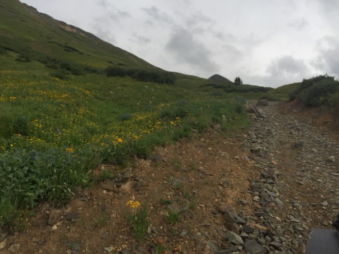
The trail head is on the left, there is a small parking area on the left as well. There is a large sign that states Alpine Loop, this is the trail head. This trail is Mineral creek, Poughkeepsie starts halfway up this trail on the right, if you stay on Mineral Creek it leads to Engineer Pass and Animas Forks. Mineral Creek is getting to be a harder trail over the years, it is getting more eroded and has a fair share of small ledges and off camber ledges, that lean you uncomfortably over shelf roads.
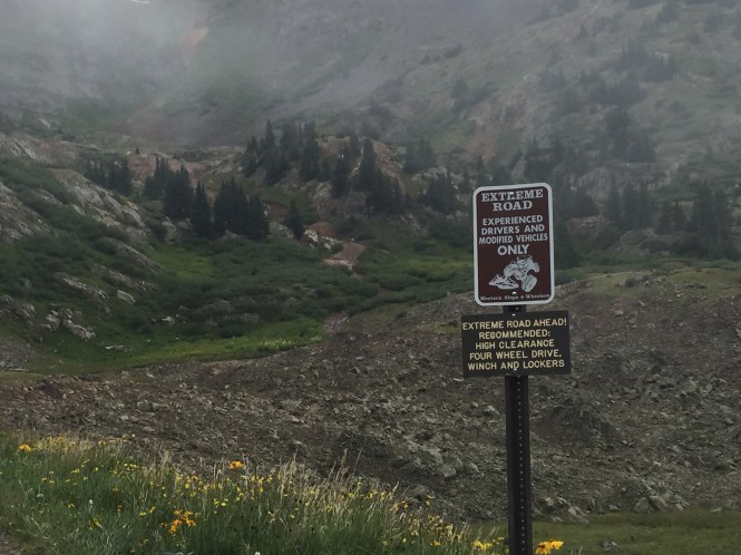
Mineral Creek is a rough trail that has warning signs, letting people know, short wheelbase high clearance is preferred. However, I still saw a BMW SUV, as well as a F 150 truck, coming down the trail, the BMW group asked me how much further the trail is, and does it get worse, I told them they made it through the worst of it.


Starting up the trail. there is a small ledge section not far into it, you can go around, or go right through it.
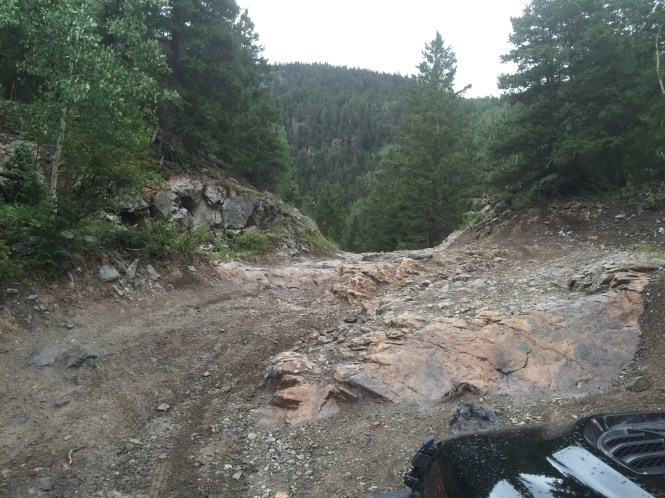
The trail has some fun rock section to keep things interesting.
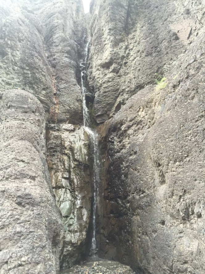
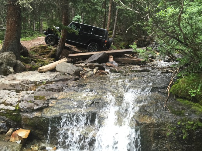
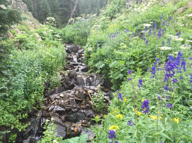
Here is a waterfall on the side of the trail worth checking out on the left.
Here is a side obstacle to play on, The picture does not show very well, but it is kind of flexy.
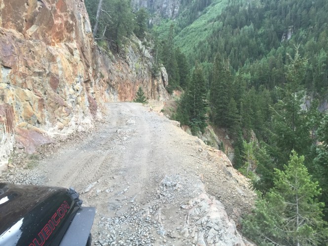


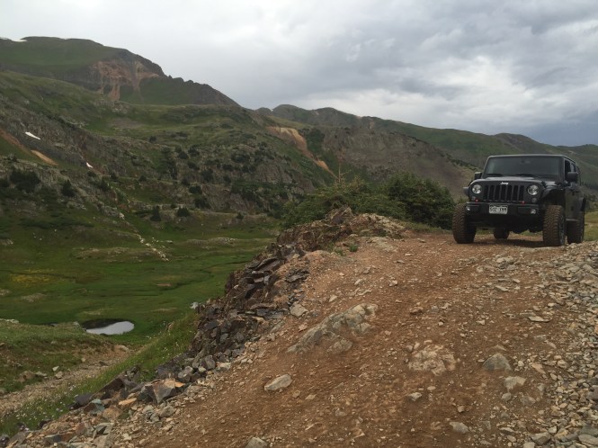
Coming up to a shelf road, the view is amazing.
Here is a video going over the shelf road.
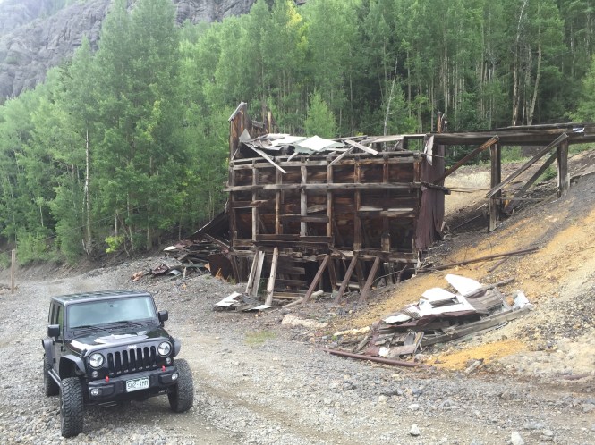
After the shelf road, you come up to this cool old mine.
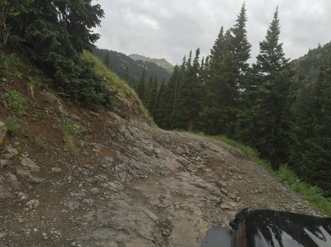
After the mine there are a few more off camber sections.


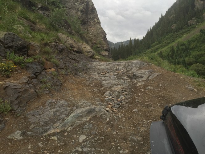
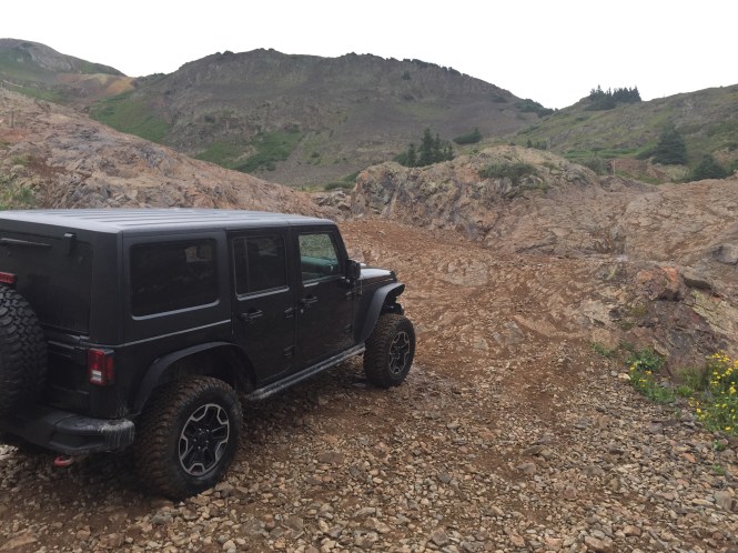
Finally made it to the start of Poughkeepsie Gulch.


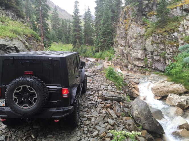
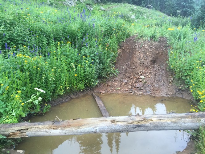
Not far into the trail is this side obstacle on the left, it is fun to go up and drive through this small streams with a couple waterfalls.
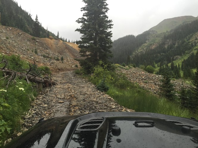
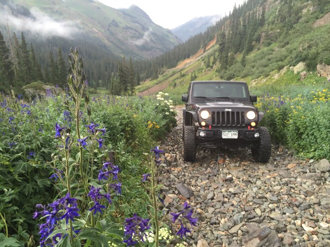
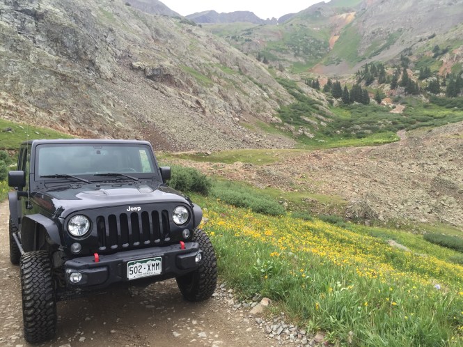
The trail begins to work up through the valley.


Some Old mine ruins, and a water fall of the side.
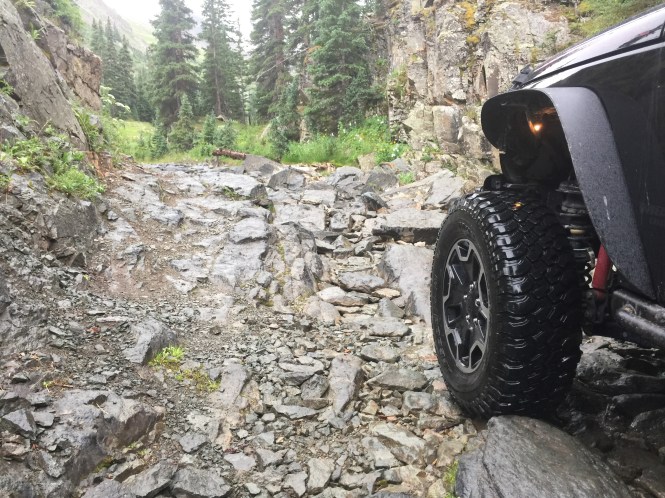

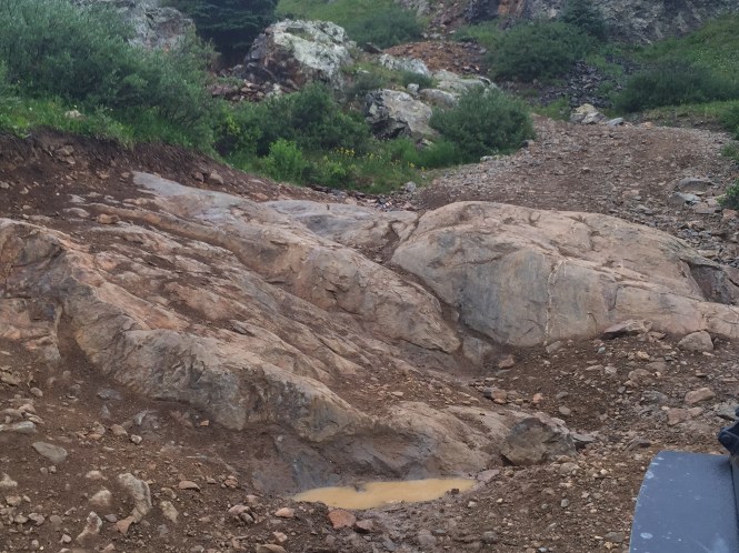
Next a rocky section with some wet rock and boulders.

Here is an old mine shaft right off the trail, it does not go back but a few feet, but is still neat to check out.
Here is a waterfall right near the mineshaft.
This is the kind of things that get trails closed, who thought this is a good idea, to tear up a hillside into a meadow!?
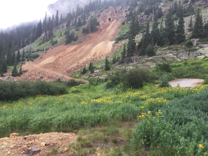
Some old mine shafts up on the hill, they are pretty big, and closed with large steel grates.

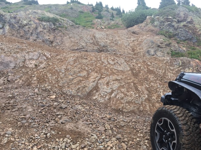
At this point the grade becomes increasingly steeper, and the rock looser. Raining the whole time, did not help traction on my stock Rubicon tires, but it did fine.

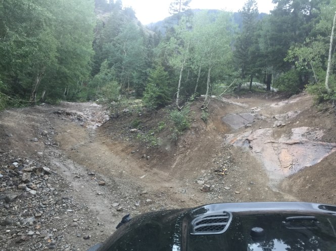
You will come up to several sections throughout the trail where people have made multiple trails, some are easier ways around.
Here is video heading up the steep loose rock.
At this point, you can head right to the most challenging section of the trail, or left to the by pass. The bypass is relatively new, I am not a fan of bypasses however, when it is raining, the wall is not very easy.
I decided to head over to the wall, there are some rocky sections along the way.
Here is the wall, I have been up this several times, however the rain would keep me from getting the traction I needed. I would just slip, I tried multiple lines to no avail. I was by myself, and it was not smart to continue, as I would really need to bump it hard to get some momentum, the rain was just making it too slick.
Here is some video, I just could not get any traction, as I have done these lines in the past, but today was just too wet, some times you just have to walk away while your ahead.

There are two winch points, but I do not have a winch on my JK, so I just decided to go try the bypass for the first time.
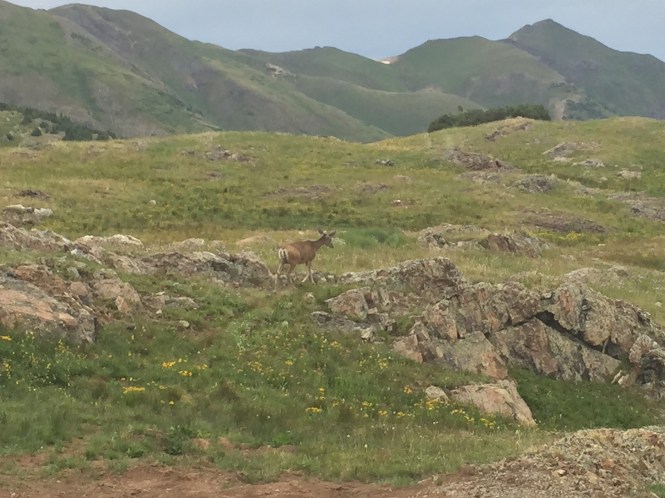
A deer walking up near the bypass.
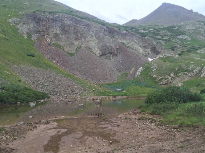
The bypass goes up past a small lake which used to be a dead end spur trail, it drops off right near the lake at the top of the trail.

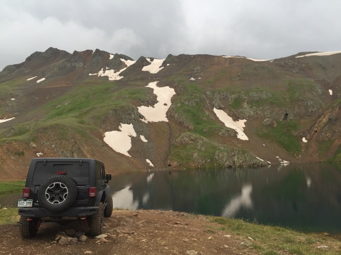
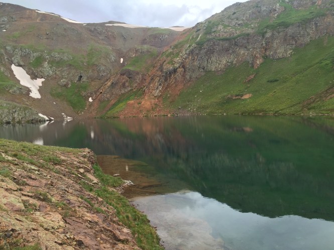
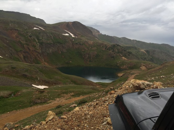
The lake near the end is pretty amazing scenery.
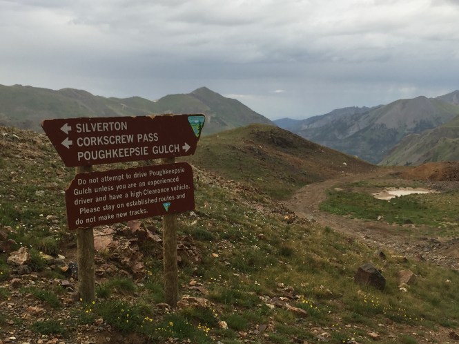
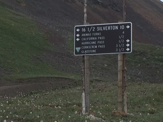
Right after the lake, you can head back to HWY 550, via Hurricane and Corkscrew Gulch, or down to Animas Forks Via California pass. I took Corkscrew back to the HWY, due to how late it was already. I started up Mineral Creek at 4:30 PM and was back to HWY 550 near Ironton Park at about 8PM, I was taking my time taking pictures, so it took about 3.5 hours to run.

Reblogged this on Smokey the Jeep and commented:
A well-written experience on Poughkeepsie Gulch! It sounds like the bypass around The Wall will allow much lesser-equipped Jeeps to complete this trail — a win-win in my book. Thanks for sharing this trail report, and for all the photos and videos you included. I’m looking forward to tackling some of the trails in the Ouray-Telluride-Silverton area next year, and I’d assumed Poughkeepsie was beyond my rig’s capabilities. Reading this, I might have to try it after all!
LikeLike
Thanks for reading, the bypass will definitely help more people experience this trail, while allowing others to go to the wall if they would like. I really love this area, I am sure you will enjoy your future trip here as well.
LikeLiked by 1 person