

This trail is an in and back out trail, it dead ends and does not make a loop, the lower sections can be driven by a Subaru, but he higher elevations get rougher and can be driven by most SUV’s. I spent about 3 hours up and back, stopping to take pictures and fly my drone.
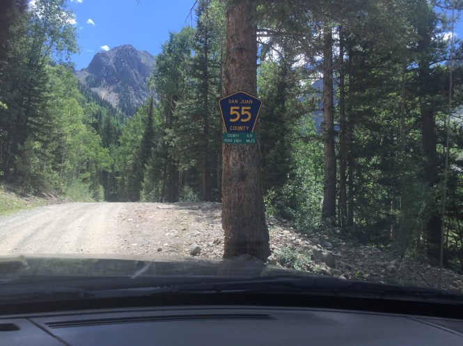
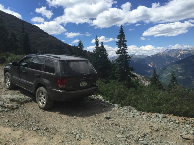
My Rubicon was broke down for the weekend, somehow the brake line got bent and the rubber hose was rubbing the rim, I started driving down the road from my house and the brake pedal all of a sudden went halfway to the floor, I stopped to take a look, and found brake fluid shooting out the rear driver brake line. I just bought a new drone and could not wait to test it out in the mountains. I called for parts, and everyone had to order this brake line in, this pretty much ruined my day, until I thought why don’t I just take our Grand Cherokee. I decided to drive to Silverton and head up Arrastra Gulch, this is a really neat area, that usually does not get as crowded as the Alpine Loop and more popular Silverton trails. This trail is easy to find, you drive straight through Silverton and hang a right near the end of town, this takes you towards Eureka, right after town you will see the large Mayflower mill, it is very obvious due to the large ore buckets hanging on the wires over the road. You take a right when you see the ore buckets, follow the road over a bridge and you will see this sign. This gulch is filled with history, the oldest mines in the area began here, there was also a large net work of arial trams used for hauling ore down the mountain, several trams are still visible today.
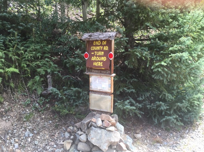
You will come up to some splits in the road, the first one I hang left, the second one you can go straight or left, the straight road dead ends a half mile down the road as seen in the pics below.


The left road heads up the main valley, not far you will see another spilt to the left, this goes to the top of the mountains.
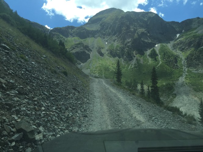
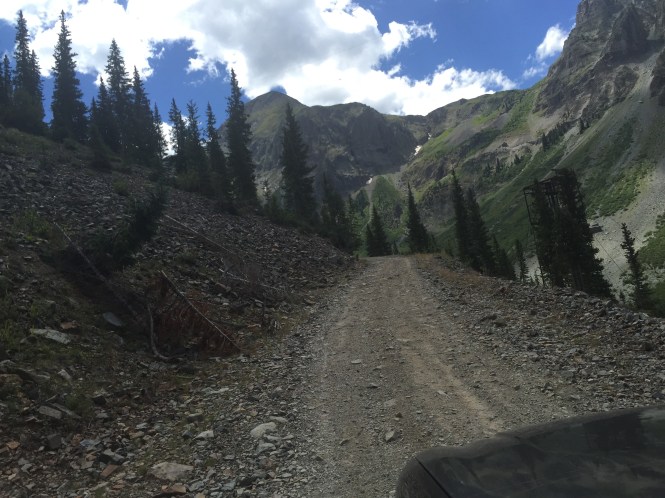
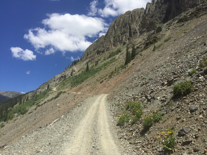
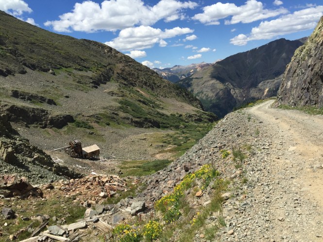
The main trail is a shelf road on a scree field that goes up until the end of the valley.
Looking up towards the end of the trail.. This spur goes up as far as you can see in the picture, it gets hard to turn around up there. This is where people park to hike the Silver Lake trail.
Here is a video of flying my drone up this valley, is quite amazing, the valley is huge.
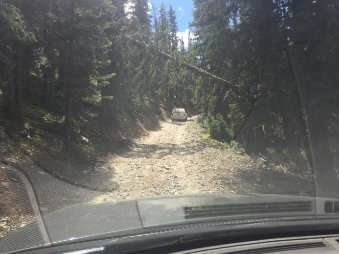
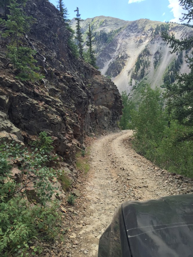
I headed back down the valley and took the next right. This leads up some switch backs and goes up to some more old silver mines.

Heading up the switchbacks, here is a blind corner. This whole trail does not leave much room for passing on coming traffic.
Gaining elevation.

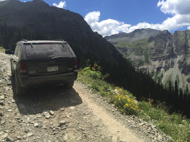
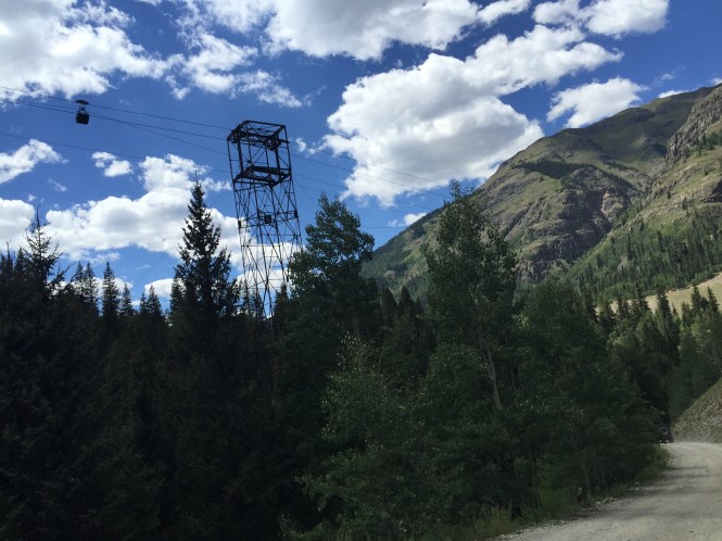
After you get up near tree line, a bunch of old mine ruins, and tram towers become apparent. You can continue heading up past here, although the trail does begin to get narrower and rougher.
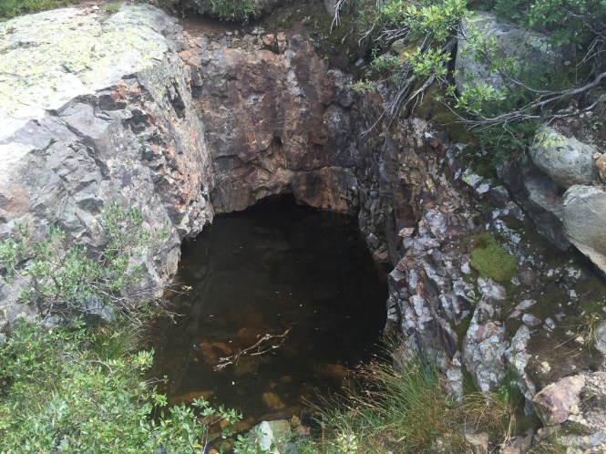
An old mine shaft filled with water.
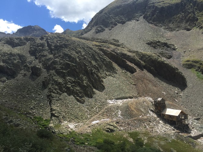
An old mine on the right side of the trail up above tree line.


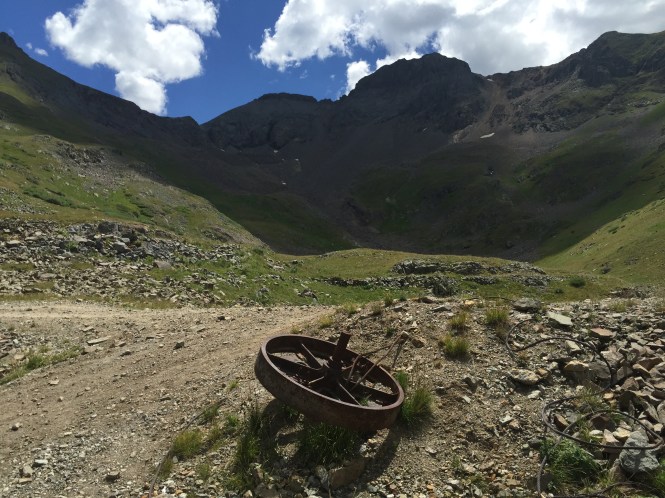
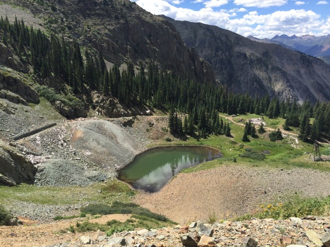
After the mine. the trail goes through some more scree and ends at this nice little alpine lake, in this empty valley..
Looking up the valley.
Heading back down the trail.
